


Monroeville FD, Monroe County, Alabama
About
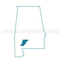
Outline

Summary
| Unique Area Identifier | 522658 |
| Name | Monroeville FD |
| County | Monroe County |
| State | Alabama |
| Area (square miles) | 0.10 |
| Land Area (square miles) | 0.10 |
| Water Area (square miles) | 0.00 |
| % of Land Area | 100.00 |
| % of Water Area | 0.00 |
| Latitude of the Internal Point | 31.52795050 |
| Longtitude of the Internal Point | -87.32819030 |
Maps


Graphs
Select a template below for downloading or customizing gragh for Monroeville FD, Monroe County, Alabama


Neighbors
Neighoring Voting District (by Name) Neighboring Voting District on the Map
- Bethel Bapt House, Monroe County, AL
- Monroeville Armory, Monroe County, AL
- Monroeville Fire Station, Monroe County, AL
- Monroeville Housing Auth, Monroe County, AL